
Elevation Data
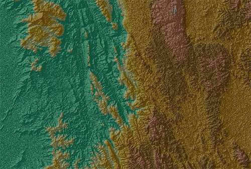
Digital Elevation Model (DEM) is essential part for understainding in precondition of environmental monitoring, geological and hydrological modeling, telecommunication, engineering industries, air traffice and navigation, etc. Using DEM is reducing cost and time for projects planning and taking quick action for emergency response. Imago Global offers customised low to high resolution DEM for customer requirements.